Concept A — clean & light · redesign demo for SE Forensic (not the live site). Feedback →
Immediate response — 24 / 7 / 365
Tallahassee & Sarasota, FLCall (850) 577-1125
Documentation & Visualization

Aerial Photography

FAA-certified drone imaging for scenes, mapping, and traffic studies.

Aerial Photography

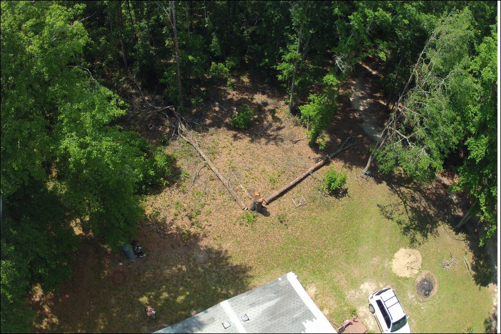
We are certified by the Federal Aviation Administration (FAA) to fly unmanned aerial vehicles (UAVs) and drones — a useful tool for traffic studies, forensic mapping, scene scanning, and many other projects. We capture high-resolution photographs and video from a variety of perspectives.